Norfolk's Soil Types Explained: What's Under Your Property and Why It Matters
Understanding the ground beneath your property is the single most useful thing you can do to assess subsidence risk. Norfolk's geology is surprisingly varied — the soil type in Norwich is completely different from Cromer or King's Lynn — and each behaves differently when conditions change.
Norfolk's Geological Map: A Simplified Overview
Boulder Clay (Glacial Till)
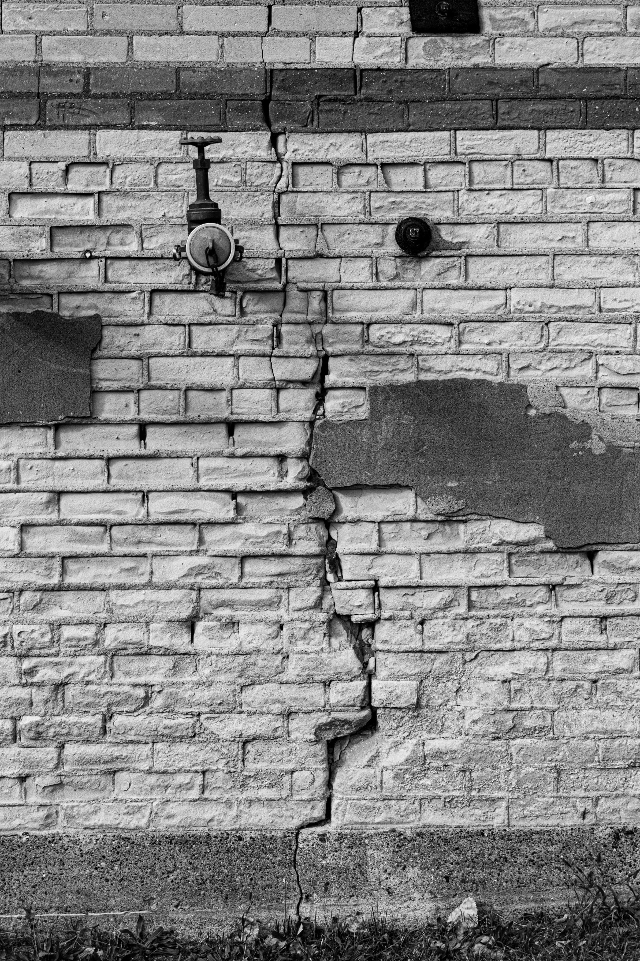
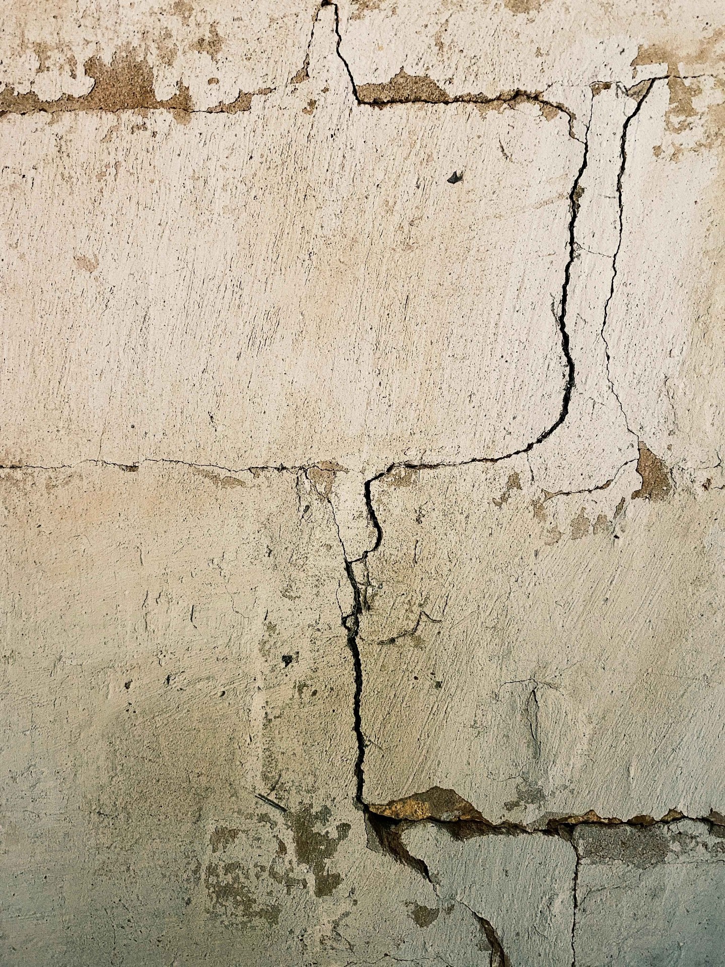
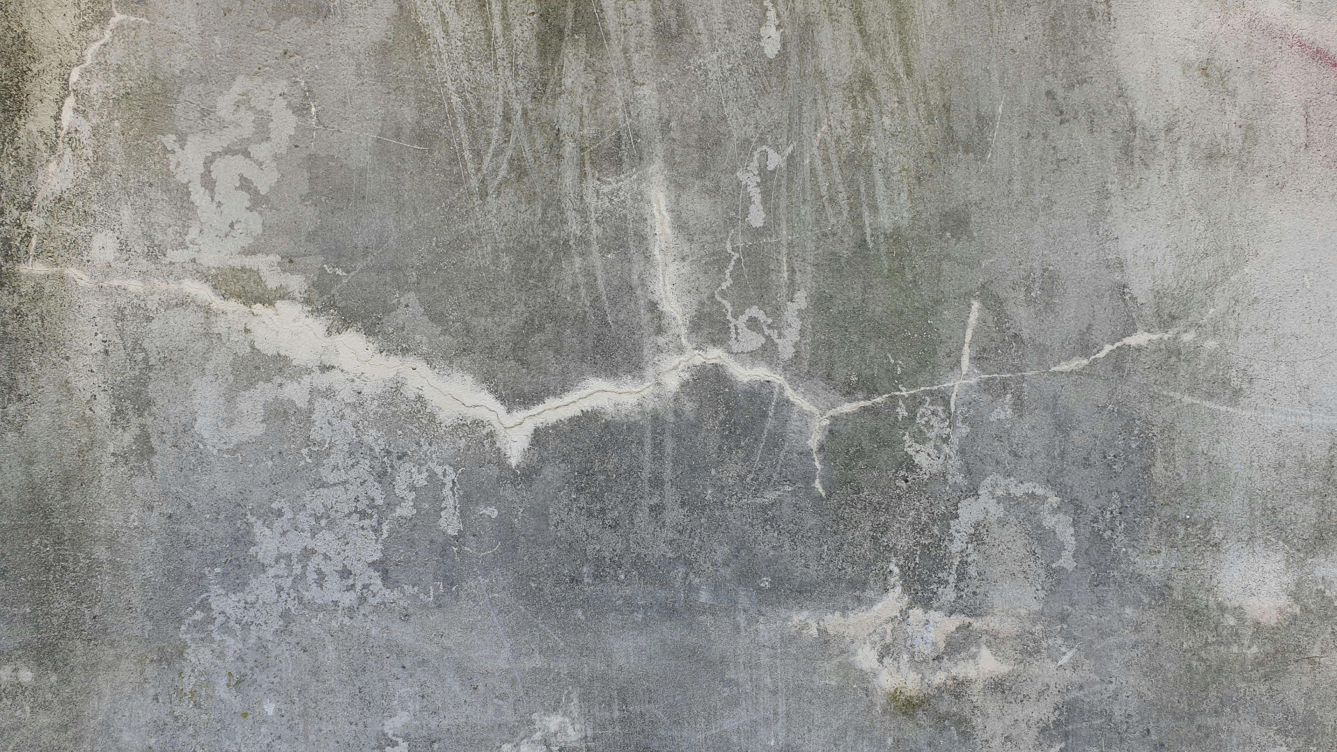
This is Norfolk's most problematic soil for subsidence. It's a stiff, plastic clay deposited by glaciers during the ice ages, and it covers most of central and southern Norfolk.
Why It Causes Problems
Boulder clay has high "plasticity" — meaning it changes volume dramatically with moisture content. When it dries, it shrinks and cracks. When it re-wets, it swells. Foundations sitting in this zone of seasonal movement are repeatedly loaded and unloaded, eventually causing differential settlement.
| Property | Boulder Clay Behaviour |
|---|---|
| Dry summer | Shrinks — foundations lose support, settle downward |
| Wet winter | Swells — can cause heave (upward pressure) |
| Near trees | Drying amplified — roots extract moisture year-round |
| Depth affected | Typically 1–3m, deeper in drought years |
Norfolk Towns on Boulder Clay
Dereham, Wymondham, Attleborough, Long Stratton, Aylsham, and large parts of Norwich all sit on boulder clay. If your property is in one of these areas and was built before 1970 (when foundation depths were often only 300–600mm), subsidence risk is elevated.
Norwich Crag and Red Crag
East Norfolk sits on Crag deposits — layers of shelly sand, gravel, and silt laid down in shallow seas 2–3 million years ago. These soils don't shrink like clay, but they're not risk-free.
The Risks
- • **Washout**: Sandy Crag soils can be eroded by leaking drains or poor surface drainage, creating voids beneath foundations
- • **Low bearing capacity**: Loose Crag deposits may not support foundations adequately without improvement
- • **Variable density**: The Crag can be dense and stable in one spot and loose a few metres away
North Walsham, Stalham, and parts of Cromer sit on Crag deposits. Problems here are typically addressed with void filling or resin injection to compact loose soils.
Chalk
Western Norfolk — King's Lynn, Downham Market, Swaffham, Hunstanton — sits on chalk bedrock. Chalk itself is strong and stable, but it brings its own hazard: dissolution.
Over thousands of years, slightly acidic groundwater dissolves chalk, creating underground cavities. These features, called "solution pipes" or "swallow holes," can cause sudden, localised collapse — quite different from the gradual settlement seen on clay.
| Chalk Risk | Description |
|---|---|
| Solution pipes | Vertical tubes of dissolved chalk, often filled with loose soil |
| Swallow holes | Surface depressions where chalk has dissolved below |
| Mine workings | Historic chalk extraction tunnels (common near Thetford) |
If you're in a chalk area, a ground-penetrating radar (GPR) survey can identify hidden voids before they become a problem.
Peat and Alluvial Deposits
The Broads, the Fens, and river valleys across Norfolk contain peat and alluvial clay. These are Norfolk's most compressible soils.
Peat consolidates — it squeezes out water and shrinks permanently under the weight of a building. This isn't seasonal like clay shrinkage; it's a one-way process. Properties in Great Yarmouth, Loddon, and parts of Stalham frequently experience this kind of settlement.
Key Difference from Clay Subsidence
Clay subsidence is often seasonal and can stabilise once the cause is addressed. Peat settlement is progressive and irreversible without intervention. Foundation repair or underpinning is usually needed to transfer the building's weight to firmer ground below.
How to Find Out What's Under Your Property
- • **BGS Geology Viewer** (free): The British Geological Survey publishes a free online map showing superficial and bedrock geology for any UK postcode
- • **Site investigation**: A ground engineer can drill boreholes or dig trial pits to confirm the actual soil conditions at foundation level
- • **GPR survey**: Non-invasive ground-penetrating radar maps subsurface features without digging
Knowing your soil type doesn't just help with subsidence — it informs decisions about drainage, landscaping, extensions, and tree planting too.
Concerned about subsidence?
Get in touch for a free, no-obligation survey of your property.
Get a Free Quote